8.4 km | 10.5 km-effort
pic aureille départ chartreuse
soreda
User
Length
35 km
Max alt
1020 m
Uphill gradient
1283 m
Km-Effort
52 km
Min alt
152 m
Downhill gradient
1284 m
Boucle
Yes
Creation date :
2019-01-15 20:30:03.863
Updated on :
2019-01-15 20:30:03.863
2h45
Difficulty : Easy
FREE GPS app for hiking
About
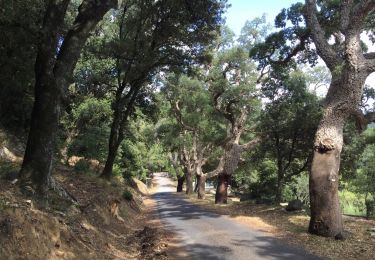
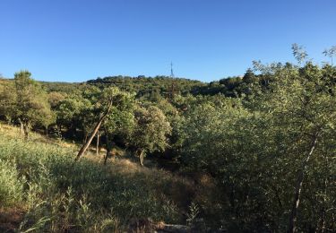
Trail Mountain bike of 35 km to be discovered at Occitania, Pyrénées-Orientales, Le Boulou. This trail is proposed by soreda.
Positioning
Country:
France
Region :
Occitania
Department/Province :
Pyrénées-Orientales
Municipality :
Le Boulou
Location:
Unknown
Start:(Dec)
Start:(UTM)
487572 ; 4706872 (31T) N.
Comments
Trails nearby
rando de la bataille du Boulou
Walking
Very difficult
(1)
Le Boulou,
Occitania,
Pyrénées-Orientales,
France
3h 27min
Yes
LES CLUSES 66
Walking
Easy
(10)
Les Cluses,
Occitania,
Pyrénées-Orientales,
France
9.4 km | 12.8 km-effort
1h 50min
Yes
66 ST-JEAN-PLA-DE-CORTS, promenade autour du Tech, jusqu'au BOULOU
Walking
Easy
(1)
Saint-Jean-Pla-de-Corts,
Occitania,
Pyrénées-Orientales,
France
7.9 km | 8.8 km-effort
1h 18min
Yes
SAINT-JEAN-D'ALBERE 66 - PUIG de Sant Christau par le coll de Sant Joan
Walking
Difficult
(1)
L'Albère,
Occitania,
Pyrénées-Orientales,
France
10.1 km | 17 km-effort
2h 46min
Yes
MONTESQUIEU-DES-ALBERES 66 - Les Agouillous - les chemins de l'eau dans les A...
Walking
Medium
(1)
Montesquieu-des-Albères,
Occitania,
Pyrénées-Orientales,
France
12.7 km | 13.9 km-effort
2h 16min
Yes
LES THERMES DU BOULOU - 66 - Albera viva - PUIG de l'Estella
Walking
Medium
(2)
Le Boulou,
Occitania,
Pyrénées-Orientales,
France
7.3 km | 11.4 km-effort
1h 32min
Yes
Bataille du Boulou (1793 - 1794)
Walking
Very easy
Le Boulou,
Occitania,
Pyrénées-Orientales,
France
10.4 km | 13.2 km-effort
1h 57min
Yes
Autour du Boulou (66)
Hybrid bike
Easy
Le Boulou,
Occitania,
Pyrénées-Orientales,
France
17 km | 19.5 km-effort
1h 54min
No
Pic Estelle (377m) - Le Boulou - Pyrénées orientales (66)
Walking
Very easy
Le Boulou,
Occitania,
Pyrénées-Orientales,
France
10.9 km | 15.9 km-effort
2h 19min
Yes